


Strategic Partnerships Are Key to Advancing Geospatial Capabilities, Says High-Level Report on National Mapping Agencies
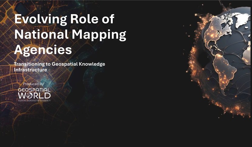
Geospatial World, a leader
in advancing global sustainability through collaborative geospatial knowledge
infrastructures, has released a thought leadership report titled "Evolving
Role of National Mapping Agencies – Transitioning to Geospatial Knowledge
Infrastructure." This report offers critical insights into the
transformative journey of National Mapping Agencies (NMAs) as they embrace
Geospatial Knowledge Infrastructure (GKI) to enhance their contributions to
national and global development.
The report emphasizes the
importance of collaboration between NMAs and the private sector, highlighting
how these partnerships are reshaping geospatial capabilities across various
economic sectors. Effective collaboration not only leverages the strengths and
resources of both public and private partners but also fosters the development
of cutting-edge geospatial solutions. To ensure successful partnerships, it is
essential to implement robust mechanisms that encompass specific actions,
policies, and strategies facilitating effective cooperation, along with
adopting suitable partnership models that establish the structural frameworks
and types of relationships between the collaborating parties.
The report details various
models of public-private partnerships (PPPs), strategic alliances, and
data-sharing agreements, each playing a pivotal role in enhancing the
capabilities of NMAs. PPPs are cooperative arrangements between one or more
public sector entities and private sector companies, combining the strengths of
both to achieve significant advancements in geospatial technologies. For
instance, the Alberta Data Partnership (ADP) is highlighted as a prominent
example within the geospatial sector, designed to leverage the strengths and
resources of both public and private entities to enhance geospatial data
accessibility, quality, and utility across various applications.
Strategic alliances are
formal agreements between independent organizations to collaborate and leverage
each other's strengths, resources, and capabilities to achieve specific goals
while remaining separate entities. In the context of NMAs and the industry,
these alliances can facilitate the exchange of geospatial data, technology, and
expertise. A notable example is SwissTopo’s strategic alliance with Hexagon,
which modernized mapping systems by integrating advanced surveying technologies
like LiDAR and photogrammetry, thereby improving data accuracy and processing
efficiency.
Data-sharing agreements are
vital for maximizing the utility of geospatial data. These formal agreements
set clear standards, access protocols, and usage rights for sharing geospatial
data between parties, promoting transparency and efficiency. An example
includes the Australian Government’s collaboration with Geoscape Australia,
providing licensed access to proprietary datasets for commercial and research
purposes.
Hitesh Kumar Makwana, IAS,
Surveyor General of India, Survey of India, India, emphasized the strides made
under the National Geospatial Policy 2022: "In line with National
Geospatial Policy 2022, Survey of India has commenced collaboration with the
industry. The Government has advanced from traditional methods of procuring
data to collecting accurate geospatial information and developing applications
that can solve problems in real-time. All of this has happened due to
private-public partnerships." His statement reflects the growing
recognition of the value that public-private collaborations bring to the
geospatial sector, enabling NMAs to play a more dynamic and impactful role in
addressing national priorities.
Sanjay Kumar, CEO of
Geospatial World, remarked on the pivotal transition within the industry:
"The transition to Geospatial Knowledge Infrastructure represents a
pivotal moment for National Mapping Agencies and the entire geospatial
industry. This high-level thought leadership report underscores the importance
of evolving our data frameworks to enhance collaboration and drive sustainable
development. By integrating advanced geospatial technologies within a cohesive
digital ecosystem, we are not only advancing our capabilities but also
contributing significantly to global resilience and growth." His insights
highlight the critical need for NMAs to adapt to the rapidly changing
technological landscape, ensuring they remain at the forefront of geospatial
innovation.
The report further
elaborates on the evolving role of NMAs, driven by technological advancements
such as Artificial Intelligence (AI), Machine Learning (ML), and Digital Twins.
These technologies are revolutionizing the geospatial landscape, enabling NMAs
to provide more accurate and actionable data essential for decision-making in
sectors like urban planning, infrastructure management, and environmental
monitoring. The integration of these technologies is not just enhancing data
accuracy but also expanding the scope of NMAs' capabilities in supporting
complex decision-making processes.
Moreover, the report
identifies the growing trend of public-private partnerships (PPP) as crucial in
fostering innovation and expanding the capabilities of NMAs. By leveraging
industry expertise, NMAs are better equipped to support economic growth,
sustainable development, and capacity building across various sectors. These
partnerships are highlighted as instrumental in ensuring that NMAs can keep
pace with the evolving demands of the geospatial sector, making them more agile
and responsive to emerging challenges.
The report also explores
other collaborative models, such as collaborative R&D consortia, technology
transfer agreements, and outsourcing and contracting, which play significant
roles in advancing geospatial technologies. For example, the joint project
between the German Federal Agency for Cartography and Geodesy (BKG) and the
Fraunhofer Institute led to the development of new geospatial data processing
algorithms, demonstrating the power of collaborative research and development
in driving innovation.
The report concludes that
as NMAs continue to evolve, their contributions to national and global
development will become increasingly significant. The integration of advanced
geospatial technologies and the expansion of collaborative efforts will
position NMAs as central to the future of geospatial knowledge and its
application across diverse sectors. This evolution is expected to empower NMAs
to play a more proactive role in shaping the future of geospatial intelligence,
ultimately driving innovation and sustainability on a global scale.
Related Articles




Current Issue

10-2026
